
Sleepy Hollow to Lighthouse Paddle
Distance: 5 miles
Level: Advanced paddlers
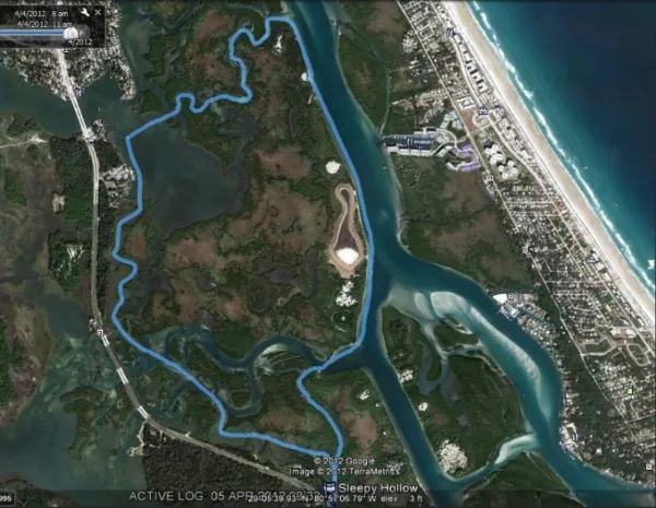
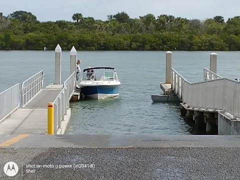
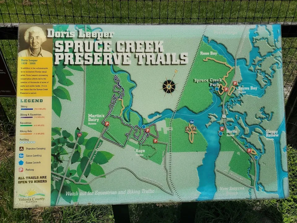
Summary: This paddle begins at the Sleepy Hollow launch area at the intersection of U.S. 1 and Sleepy Hollow Drive. The route is recommended for advanced paddlers because of inlet currents near the lighthouse. The route crosses the Ponce de Leon Cut and the Intracoastal Waterway.
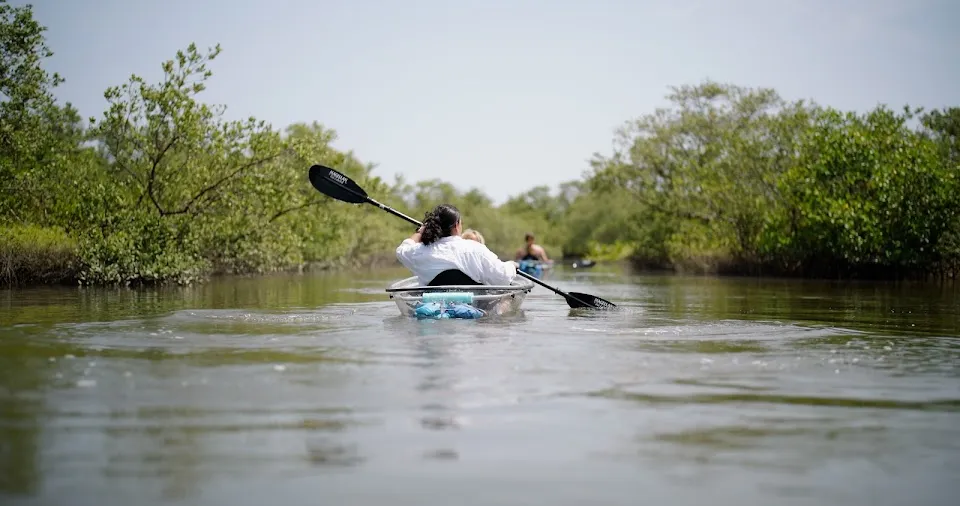
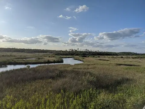
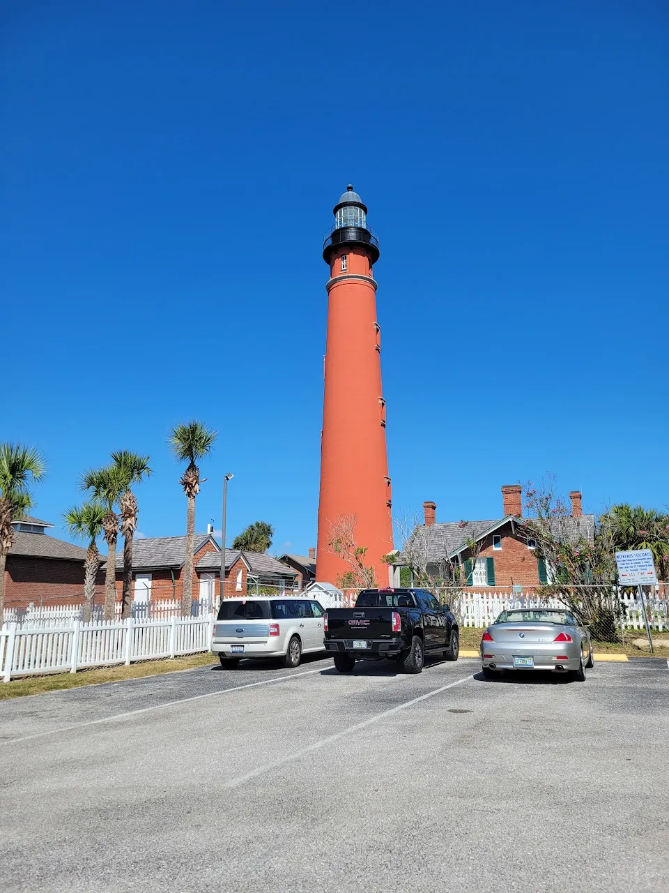
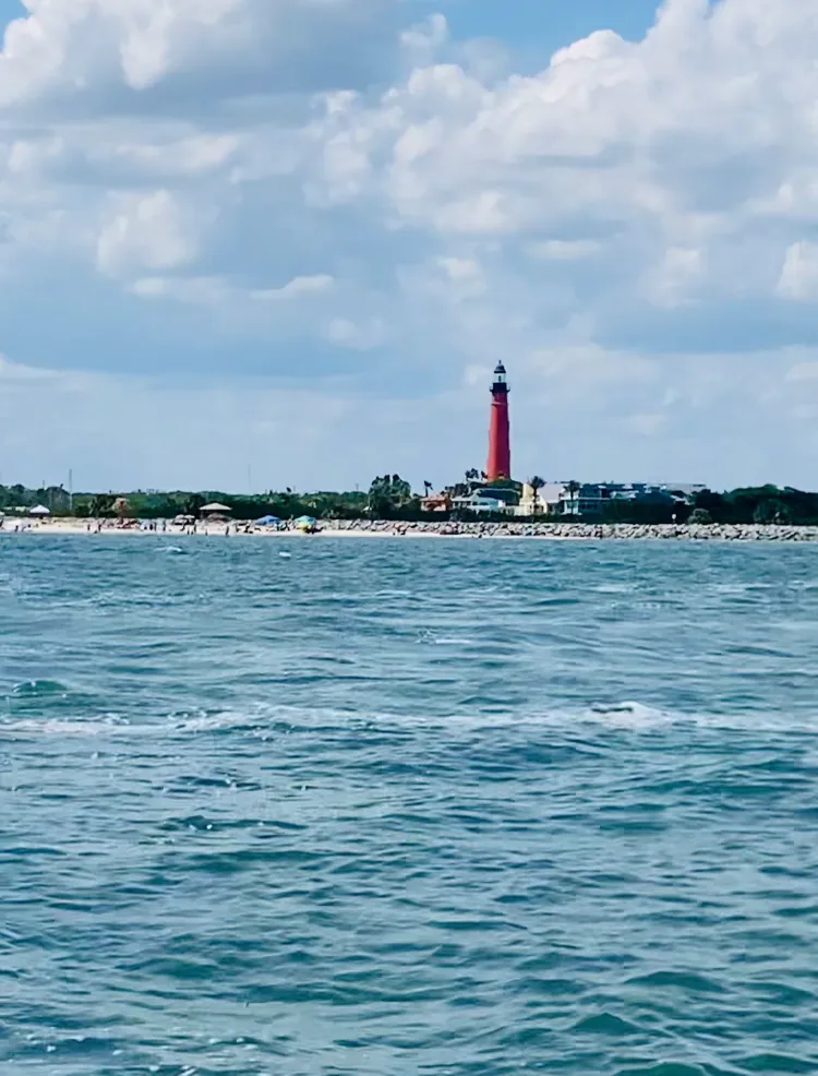
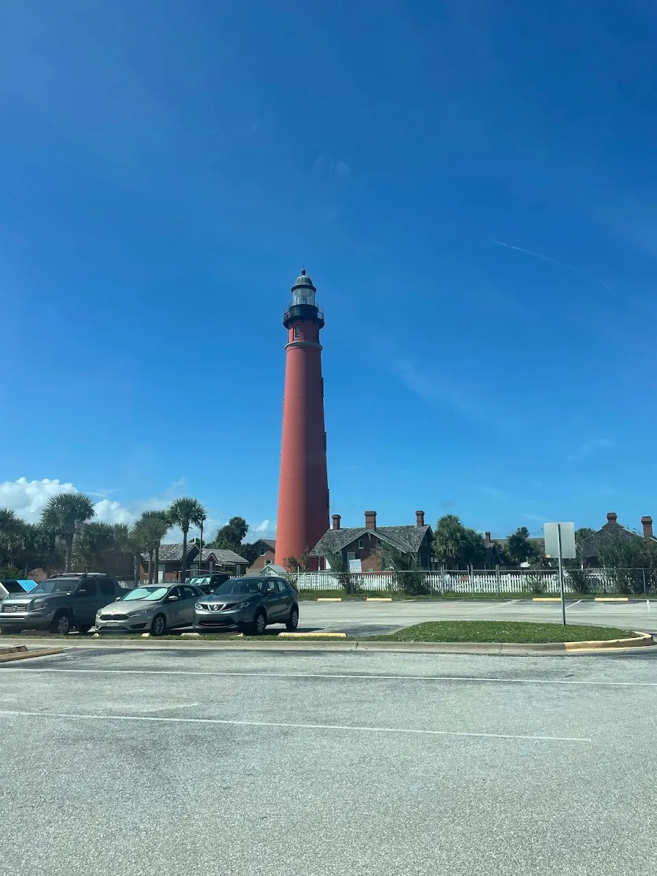
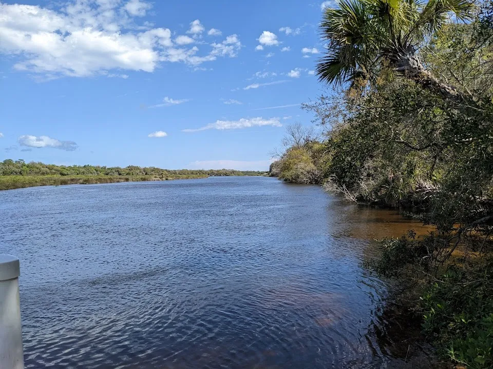
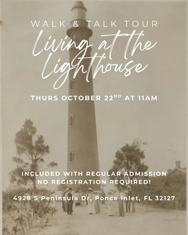
The beginning portion of the paddle takes you through backwater stretches where you may see heron, egrets, dolphin, stingrays, and other wildlife. When you reach the Ponce de Leon Inlet Lighthouse, you will find public restrooms, a lighthouse gift shop, restaurants, and the Marine Science Center.
Directions: From the launch, go left and then right into the mangrove forest. This takes you to the entrance of Spruce Creek and the Intracoastal Waterway. Paddle right, then right again. Head south and cross over to the “cut.” Then make a left. Follow the short distance to the Halifax River. When safe, cross the river and follow the shoreline to the lighthouse and nearby launch area.
On the return track, go through the cut, make a left and head south. Cross over and into the mangrove forest. Follow the creek to the Sleepy Hollow launch area.
Launch GPS: N 29 04' 41.37” W 80 57' 10.44"
About This Place
Q: What level of paddling experience is required for the Sleepy Hollow to Lighthouse Paddle?
A: This paddle is recommended for advanced paddlers due to inlet currents, making it essential to have prior experience before embarking on this journey.
Q: How long does the Sleepy Hollow to Lighthouse Paddle take?
A: The paddle covers a distance of 5 miles, and depending on your pace and stops, you should plan for a couple of hours to complete it comfortably.
Q: What should I bring along for the Sleepy Hollow to Lighthouse Paddle?
A: Be sure to bring plenty of water, sunscreen, and any necessary paddling gear. Don't forget your camera for capturing the beautiful wildlife and scenery along the way!
Nearby Places to Explore








Nearby Events










Location & Map
Find this place on Google Maps and get turn-by-turn directions before you go.