
Indian River to Smyrna Creek Paddle
Distance: 6.55 miles
Level: Advanced paddlers
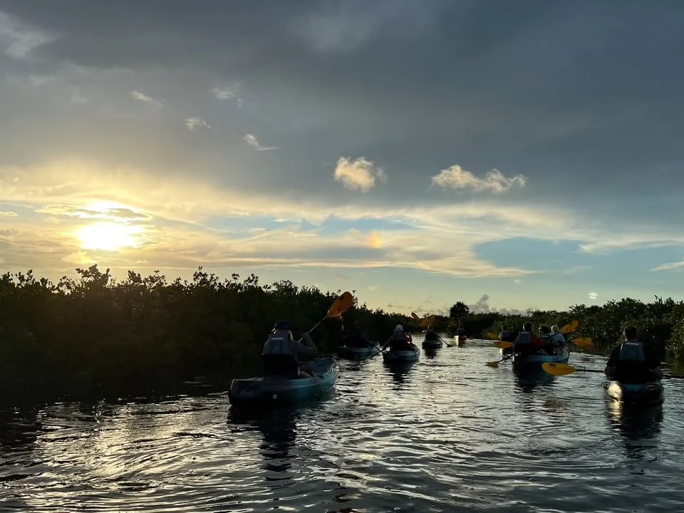
Summary: Before launching, check the wind and tide direction to determine if you want to start your tour in the river or on the backwaters. Either way, you will see a nice mix of birds in the backwater and dolphin (and manatee during warmer months) in the main river.
In Smyrna Creek, there is very little powerboat traffic except possibility at high tide. However, please be cautious of boat traffic when you get into the river.
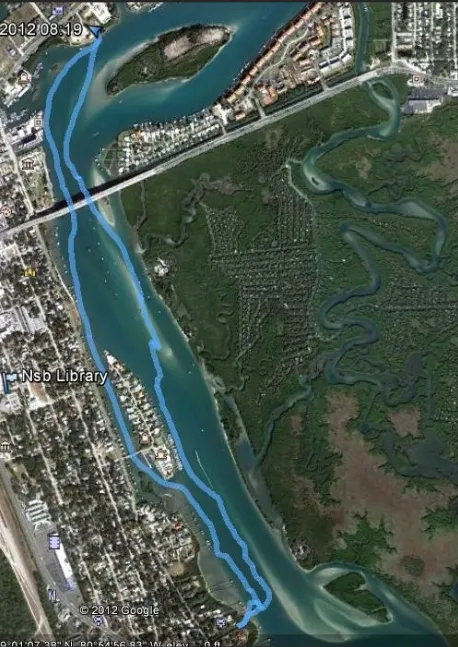
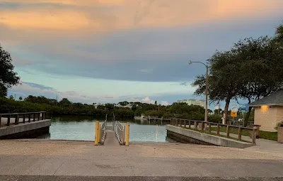
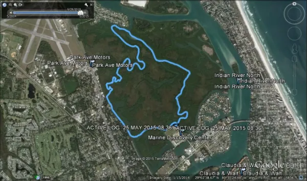
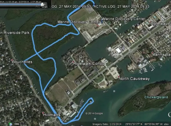
Directions: This paddle begins at the public floating docks at 162 North Causeway. Paddle east around to go under the North Causeway Bridge. Continue up the river beside the mangrove forest.
At the intersection of the Intracoastal Waterway’s Ponce de Leon Cut, make a left turn, and continue until you get to the housing area. Make a left into Smyrna Creek and paddle south.
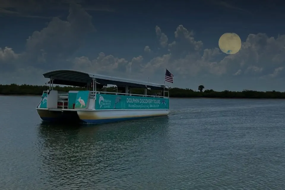
You will emerge behind the Marine Discovery Center. Make a right. Follow the property and turn at the next left canal. Continue south to Riverside Drive and turn left. Go under the North Causeway and through the New Smyrna Beach Marina. You will pass two bird rookeries before you return to the launch area.
Launch GPS: N 29 01' 49.84” W 80 55' 01.58"
About This Place
Q: What makes the Indian River to Smyrna Creek Paddle unique?
A: This paddle offers a mix of beautiful backwaters and the chance to see dolphins and manatees during warmer months, along with a low traffic environment in Smyrna Creek, ideal for advanced paddlers looking for an adventure.
Q: How long does this paddle typically take?
A: You should expect to spend around 3-4 hours on this 6.55-mile paddle, giving you time to explore and enjoy the natural surroundings.
Q: Where is the best place to launch for this paddle?
A: You can launch from the public floating docks at 162 North Causeway, which is conveniently located for easy access to the paddle route.
Nearby Places to Explore








Nearby Events


























Location & Map
Find this place on Google Maps and get turn-by-turn directions before you go.